RideThe Atlas
Ski touring descent in the Moroccan High Atlas
Ride The Atlas
Morocco / High Atlas

Winter mountain journeys · Morocco

Ski
Touring

High passes, summit bowls and natural couloirs in the Moroccan High Atlas — explored on skis, with the mountain conditions setting the route.

01 / Read the range

A mountain range.
Many ways through.

The supplied guide focuses on four connected ski-touring areas: the Toubkal Refuge, Tazaghart Refuge, Tacheddirt and the Aksoual–Azrou n’Tamadôt sector. Together they offer high passes, summit routes, broad bowls, couloirs and longer traverses.

Its most useful detail is not simply a list of peaks. It describes how the terrain changes: sunny and wind-exposed slopes can lose their snow, shaded aspects may preserve better snow, gullies can collect avalanche debris, and some upper sections require crampons or carrying skis.

Route information is indicative. Conditions in the High Atlas change throughout the winter, so routes, timings and difficulty can vary. Every expedition is planned according to the snowpack, weather and the group’s experience.
4,167 m

Toubkal · highest summit in the source

3,207 m

Louis Neltner Refuge

3,000 m

Jacques de Lépiney Refuge

01 / Louis Neltner Refuge · 3,207 m

From the Toubkal Refuge

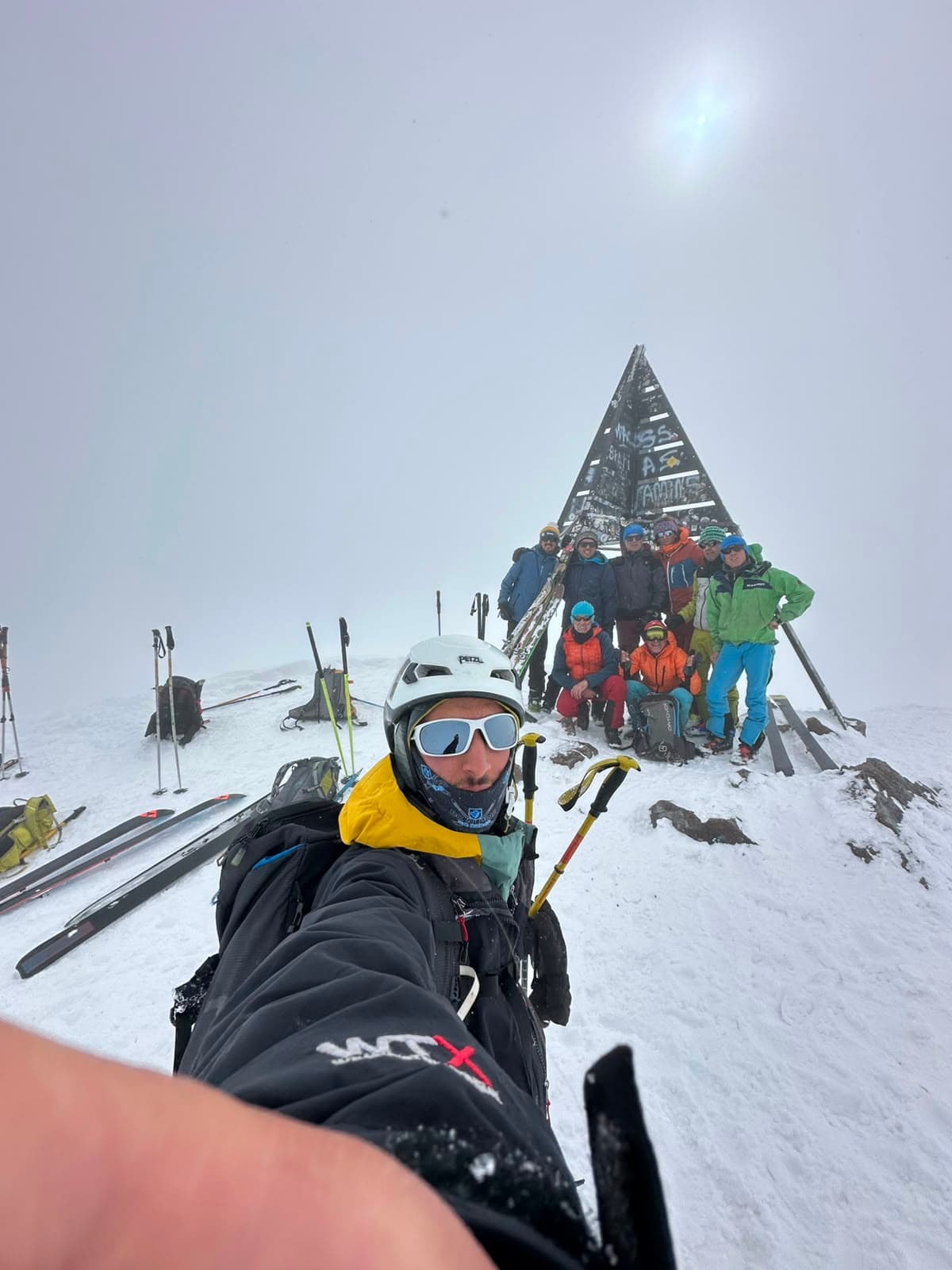
The upper basin of the Assif n’Aït Mizane gathers steep gullies, couloirs and high mountain passes beneath a group of 4,000-metre summits. The source guide describes the refuge as a base for ski objectives on the slopes of Toubkal, Ouanoukrim and Biiguinnoussene.

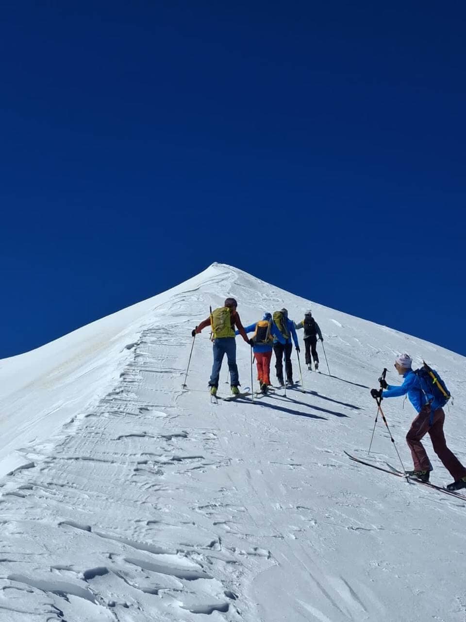
Skiers on a summit in the Moroccan High Atlas

Approach & mountain context

  • The classic approach starts in Imlil (about 1,700 m) and climbs through Aremd and Sidi Chamharouch to the refuge.
  • The source gives approximately 1,500 m of ascent and five hours for the approach. In winter, snow can make the path difficult or impassable on foot; access and porter or mule support depend on conditions.
  • When snow cover is sufficient, the guide describes leaving the path near Irhzer n’Imouzzer and following the valley floor towards the refuge.

Selected lines

Routes & objectives

11 routes

Good skiers

Tizi n’Ouagane

3,750 m · +550 m · 1 h 45 min up

A high pass giving access towards the upper Agoundis valley and, to the south, the Tifnout via Tizi n’Zaout. The final slope steepens to around 35°. The source recommends ski crampons; a snow cornice may overhang the Agoundis side.

Good skiers

Tizi n’Ouanoums

3,684 m · +500 m · 1 h 30 min up

A high pass on the classic walking route towards Lake Ifni. The source notes that this wind- and sun-exposed slope often has insufficient snow, and that crampons or ski crampons may be needed.

Good skiers

Amrharas n’Igliouia

+700 m · about 2 h 30 min up

A broad glacial cirque reached through a narrow gorge. The guide describes several options from the upper basin: the Amguird col and Bou Imrhaz valley, the Akioud ridge, or the smaller Amrharas cols. The upper slopes can be sun-exposed; an early descent is advised in spring.

Good to very good skiers

Tizi n’Bou Imrhaz

3,965 m · +760 m · about 3 h up

Also called Tizi n’Ouanoukrim in the source. The route follows the Assif Mizane before climbing broad ledges or a steep, narrow couloir of roughly 150 m to a high plateau. The source praises the Bou Imrhaz bowl as one of the finest descents in the valley.

Very good skiers

Toubkal via Ikhibi Sud

4,167 m · +900 m · about 3 h up

The south gully rises directly above the refuge, with slopes around 35° and rocky barriers below the summit cirque. The source calls for crampons or ski crampons on the ascent and rope, ice axe and crampons when the ridge is icy.

Very good skiers

Toubkal via Ikhibi Nord

4,167 m · +1,000 m · about 4 h up

From the refuge, the route descends the Assif Mizane to the gully, then climbs towards the North Col (about 3,950 m) between Toubkal and Imouzzer. Skis are left before the final ridge ascent.

Very good skiers

Ras n’Ouanoukrim, north couloir

4,083 m · +900 m · about 3 h 30 min up

A narrow, straight couloir on the north-east face, described in the source as around 350 m high with an average angle of 35°. It leads into the Bou Imrhaz bowl. The source suggests April and May, subject to conditions.

Very good skiers

Afella n’Ouanoukrim

4,015 m in the source · about 4 h up

The described line climbs the Aougdal Bou Tiouna ravine on the south-east side. Steep steps and ledges lead to the upper slopes; skis are left before following the north ridge to the rounded summit. The source notes that this is an uncommon and more involved itinerary.

Alpine experience

Clochetons of Ouanoukrim

3,963 m in the source · +763 m

The Irhzer Ikhelloun gully ends in a narrow, steep couloir (around 40°) below the south breach. The source warns of major avalanche activity in this ravine after heavy snowfall. The summit ridge has rocky steps; rope, ice axe and crampons are specified.

Good skiers

Tizi n’Tadat

about 3,800 m · +600 m · about 2 h up

A gully above the refuge, with a narrow and irregular lower section often filled with blocks and avalanche debris. The source describes the upper slopes at around 30° and identifies this pass as a direct link between the Toubkal and Tazaghart refuges.

Very good skiers

Biiguinnoussene

4,002 m in the source · +800 m · about 3 h up

The source describes an ascent to the north shoulder, or a longer approach from Tizi n’Tadat through the Assif Timellilt cirque. In good snow, the north bowl offers a major descent and a possible continuation to Tazaghart Refuge or a return towards Imlil via Tizi Mzic.

02 / Jacques de Lépiney Refuge · 3,000 m

From Tazaghart Refuge

Above the Azzadene valley, the refuge sits beneath the Tazaghart plateau in a dramatic mountain cirque. The source highlights the contrast between the plateau, the long north–south Ouanoukrim ridge and the coloured villages far below.

Skiers climbing a snow-covered slope in the High Atlas

Approach & mountain context

  • The source describes an approach via Tizi n’Mzic (2,490 m) and the Azib Tamsoult summer settlements, with the final climb passing the Irhoulidene waterfalls.
  • With moderate snow and no recent snowfall, mules may carry equipment as far as Azib Tamsoult. The source notes a possible 1.5–2 hour wait there while the muleteer contacts the refuge guardian.
  • After heavy or recent snowfall, mule access may stop lower down. The path below the waterfalls crosses steep, exposed ledges; the source says it may be better to remove skis for this section.

Selected lines

Routes & objectives

4 routes

Intermediate to good skiers

Aougdal n’Bouidarene

about 900 m descent

The refuge’s home bowl lies below the north face of Tazaghart. The source describes a broad north-facing slope, then the left bank opposite the refuge and finally the stream bed, with the exact line depending on snow cover.

Good skiers

Assif Timellilt / north bowl of Biiguinnoussene

about 1,000–1,200 m descent · 8 h tour noted

From above the waterfall, the route climbs towards the west couloir of Biiguinnoussene. The source warns that an obvious first couloir ends blindly against the Adad ridge. An icy passage may require an ice axe and crampons; a narrow section can sometimes be blocked by a small icefall.

Very good skiers

Arhzane cirque

Route and vertical vary

A more committing area for the Afella n’Ouanoukrim, the Tazaghart plateau, couloirs and traverses. The source places these objectives in the very-good-skier category and describes the refuge as a base in a striking high cirque.

Very good skiers / alpinists

Tazaghart plateau and couloirs

Exact line-dependent elevation

The source groups the plateau, couloirs and traverse among the advanced objectives from this refuge. It does not give one universal descent line or a single vertical drop for the whole area.

03 / Tacheddirt · village about 2,300 m

From Tacheddirt and the Imenane Valley

Tacheddirt opens a different side of the massif: the north-facing valleys beneath Aksoual, Likemt and Iguenouane. The source describes long ski lines, village-to-village journeys and a mix of high cols, bowls and couloirs.

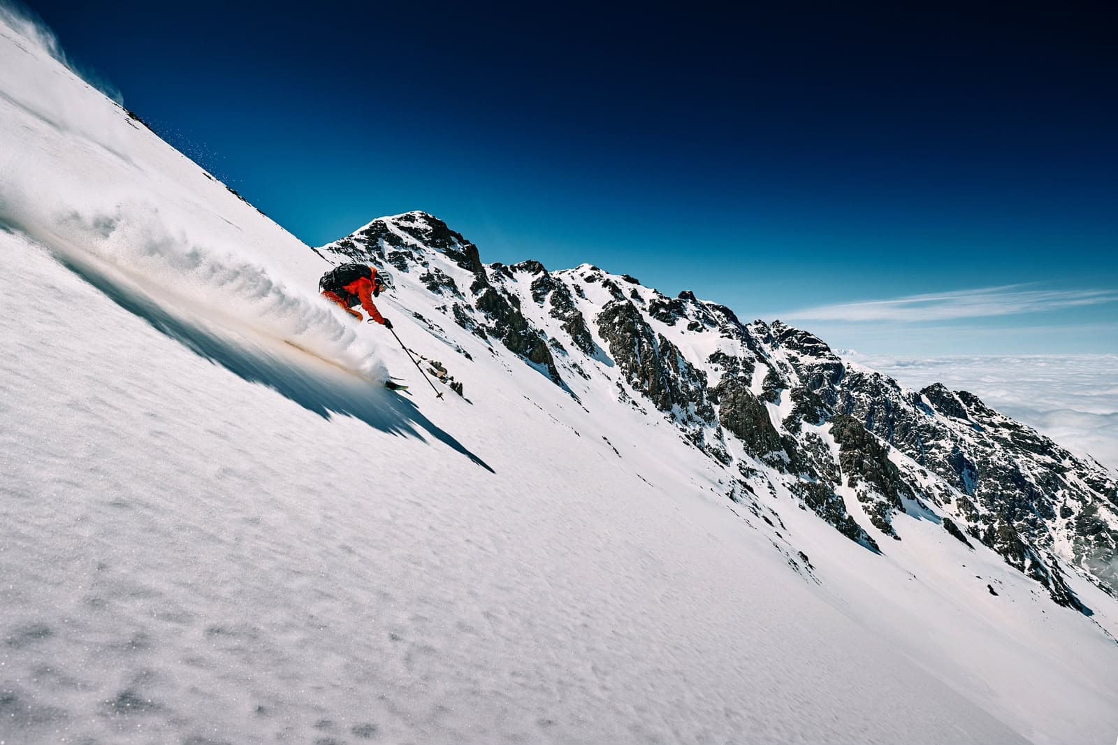
Ski descent in the Tacheddirt and High Atlas area

Approach & mountain context

  • The source describes Tacheddirt as a base at the entrance to the village, with views towards Aksoual and the snowfields of Likemt and Iguenouane.
  • A link from Oukaïmeden to Tacheddirt via Tizi n’Ou Addi (also written Tizi n’Eddi) is described as a three-hour crossing, with about 300 m ascent and 600 m descent. The source cautions that the west-facing side is often too sparsely covered for skiing.
  • The source also describes a longer traverse around Angour linking Tacheddirt and Oukaïmeden, with village stops possible. It is a full mountain journey, not simply a piste-to-piste connection.

Selected lines

Routes & objectives

4 routes

Good skiers

Tizi Likemt

3,555 m · +1,300 m · about 4 h up

From the village, the route crosses the Assif Imenane and climbs the Irhzer n’Likemt. The upper slope steepens to around 35° and is often wind-affected or hard; the source says the final part is commonly completed on crampons. In good winter coverage, the descent may reach the Assif Imenane.

Very good skiers

Iguenouane via Amazer Meggoren

3,882 m · +1,500 m · about 5 h up

The route crosses the Assif Imenane and climbs towards the Amazer Meggoren waterfall before traversing beneath the Iguenouane towers. The upper cirque rises on a broad slope of around 35°. The source describes this as an exceptional long descent, but stresses how dramatically snow quality can vary.

Good skiers

Tizi n’Tigourzatine

+1,100 m · about 4 h up

The source gives two approaches: via Irhzer Nou Ahior, or from Tizi n’Tacheddirt (around 3,200 m; about 5 h). It notes that the lower west-facing section is often less well covered than neighbouring lines.

Fit, experienced mountain travellers

Tour of Angour / Tacheddirt–Oukaïmeden

+2,100 m ascent · about 1,200 m ski descent · 8 h

From Tizi n’Tacheddirt, the itinerary skis east into the Assif Ibbassene and returns via Tizi n’Itbir below the north side of Angour, or via Jbel Ouhattar. The source gives the pass as 3,200–3,230 m depending on the map and suggests splitting the long day into village stages.

04 / Aksoual · north-facing couloirs

Aksoual and Azrou n’Tamadôt

The source devotes a separate section to the couloirs of Aksoual and the west-facing slopes of Azrou n’Tamadôt. These are serious mountain routes where snow quality, sun exposure, avalanche debris and rocky barriers shape the line.

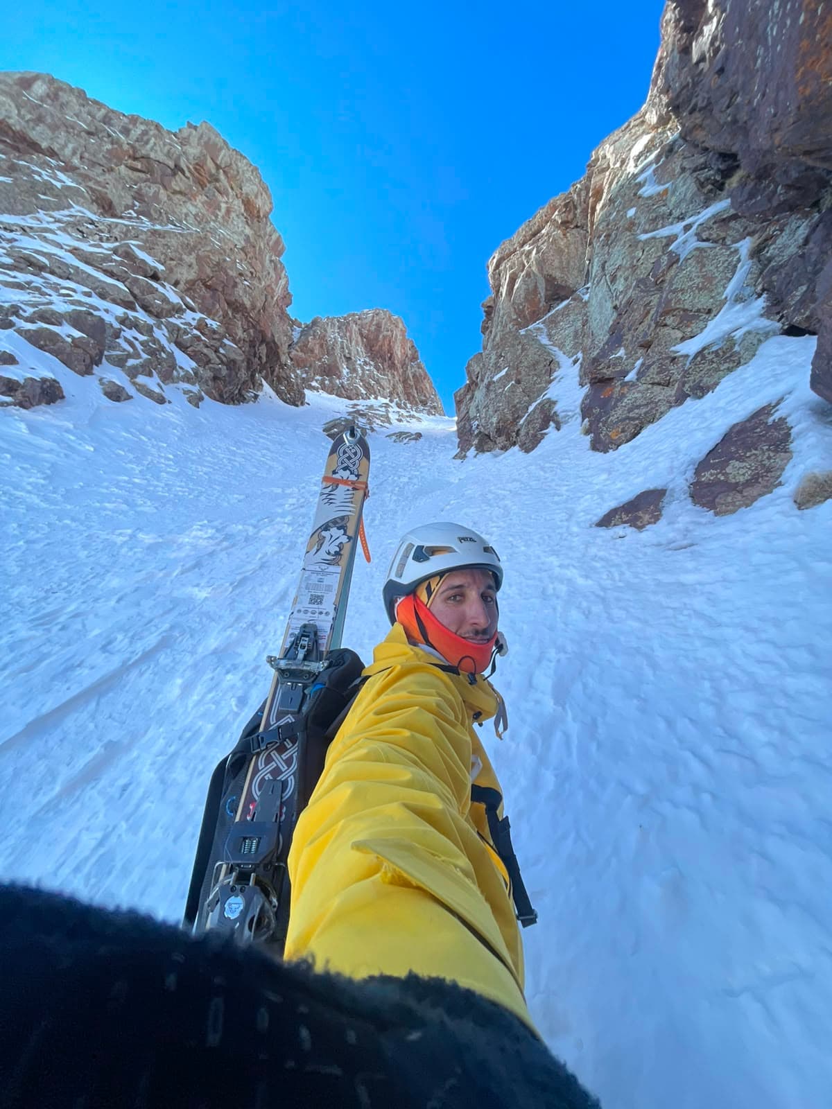
Ski touring equipment carried for a steep couloir in the Atlas

Approach & mountain context

  • For Irhzer n’Temda, the source describes an approach from Tacheddirt across the Imenane valley and past Azib Amguedoul, then up the Assif Tirgad.
  • The lower couloir is given at about 2,450 m and the Arhzane col at about 3,600 m, with around 3.5 hours for that section. The source describes a steepening upper section reaching roughly 45° and says crampons are necessary.

Selected lines

Routes & objectives

5 routes

Experienced alpinists / very good skiers

Irhzer n’Temda

about 1,150 m vertical · average 35°

A long, straight couloir visible from Tacheddirt. The source warns of avalanche debris in the lower section and a steep, narrow finish. It describes the descent as magnificent but conditions-sensitive, especially where sun-softened snow may sit over hard or icy layers.

Very good skiers

Aksoual summit

3,910–3,912 m in the source

The source describes reaching the summit from the Arhzane breach after passing the Aksoual towers. It distinguishes the towers (3,842 m) from the Aksoual summit (3,912 m); these are separate points and should not be conflated.

Experienced skiers

West side of Azrou n’Tamadôt

Snow basin around 3,000 m

A broad west-facing cirque above the Aremd rockslide, with two snow zones separated by rocky steps. The source recommends an early descent because the slope warms quickly. In good coverage, snow tongues may lead towards Assif n’Imserdane and Aremd.

Very good skiers / alpinists

Oukks n’Idane towers

3,813 m in the source

The source proposes following the Azrou n’Tamadôt ridge to the towers, then making a descending traverse on a 35–40° slope above a large rock band. It describes the shaded aspect as holding powder longer, but this is a serious exposed line.

Alpine route for excellent skiers

North face of Aksoual

3,910 m summit · +1,400 m · about 4 h 30 min up

The source describes a complex ascent through gullies, short rocky steps and couloirs, including sections around 40°. The descent follows the ascent route. This should be treated as an alpine objective, not a standard touring descent.

05 / Before you go

Plan with
the mountain.

The old guide is valuable for understanding the terrain, but it cannot tell us what is safe or skiable today.

Discuss a ski trip →

Important route note

The French source is an older route guide. Some elevations differ from modern references, and OCR in the supplied copy contains damaged words and numbers. Figures marked “in the source” are retained as printed; ambiguous values are identified rather than silently corrected. Verify every objective, access point and elevation against current mapping and local conditions before using it for a trip.

Mountain decisions

The source repeatedly flags avalanche-prone gullies, hard or wind-affected snow, sun-exposed slopes, cornices, rocky steps and passages where crampons, an ice axe or a rope may be necessary. Route choice must account for the snowpack, weather, visibility, terrain and the experience of the team.

A note on the numbers

The source distinguishes summit elevation, pass elevation, route vertical gain and descent vertical. They are not interchangeable. For example, the Toubkal summit is listed at 4,167 m, while the Ikhibi South route is described as 900 m of ascent from the refuge. The Tacheddirt pass is given as 3,200–3,230 m depending on the map.

06 / Questions

Before the
first climb.

Ask about an expedition →
01Are these current, fixed itineraries?+

No. These are route descriptions drawn from the supplied French source. They are not a promise that a line is currently in condition. Snow cover, wind, temperature, visibility, avalanche hazard and the team’s ability determine what is appropriate on the day.

02Why do some elevations differ from modern maps?+

The source is an older guide and some summit or pass figures differ from contemporary references. We have retained source figures where they identify the route, and labelled uncertain or source-specific figures. Confirm exact points against a current topographic map before publishing a trip plan.

03What do the ascent times and vertical figures mean?+

They are the figures stated in the source for particular route descriptions, not guaranteed timings. They do not include every transition, rest, snow condition or descent. Actual time depends on the route chosen and the group.

04What level is required?+

The source separates good skiers from very good skiers and, for some couloirs, experienced mountaineers. Steepness, exposure, avalanche terrain, icy passages and the need to carry skis or use crampons can make a route substantially more serious than its distance suggests.

05Can the route change during the trip?+

Yes. A route may be changed, shortened or abandoned if conditions or the team do not support it. A summit or descent is never more important than sound mountain decisions.

06What equipment is mentioned in the source?+

Depending on the line, the source mentions ski crampons, crampons, an ice axe and a rope. It also describes sections where skis may need to be carried. This is not a complete modern equipment list; the final kit should be set after a route and conditions assessment.

07 / Ski touring journeys

Choose your
expedition.

Three ways to explore the winter Atlas: the established Tacheddirt–Toubkal journey, a focused six-day tour in Tacheddirt, and a six-day high route linking Tazaghart and Toubkal. Every itinerary remains subject to snow, weather and the experience of the group.

The two six-day journeys are expedition concepts; their day-by-day schedules, included services and final difficulty grades should be confirmed before those detail pages are published.

Skiers on a summit in the Moroccan High Atlas

Ride The Atlas / Ski touring Morocco

Find your line
through winter.

Start a conversation →